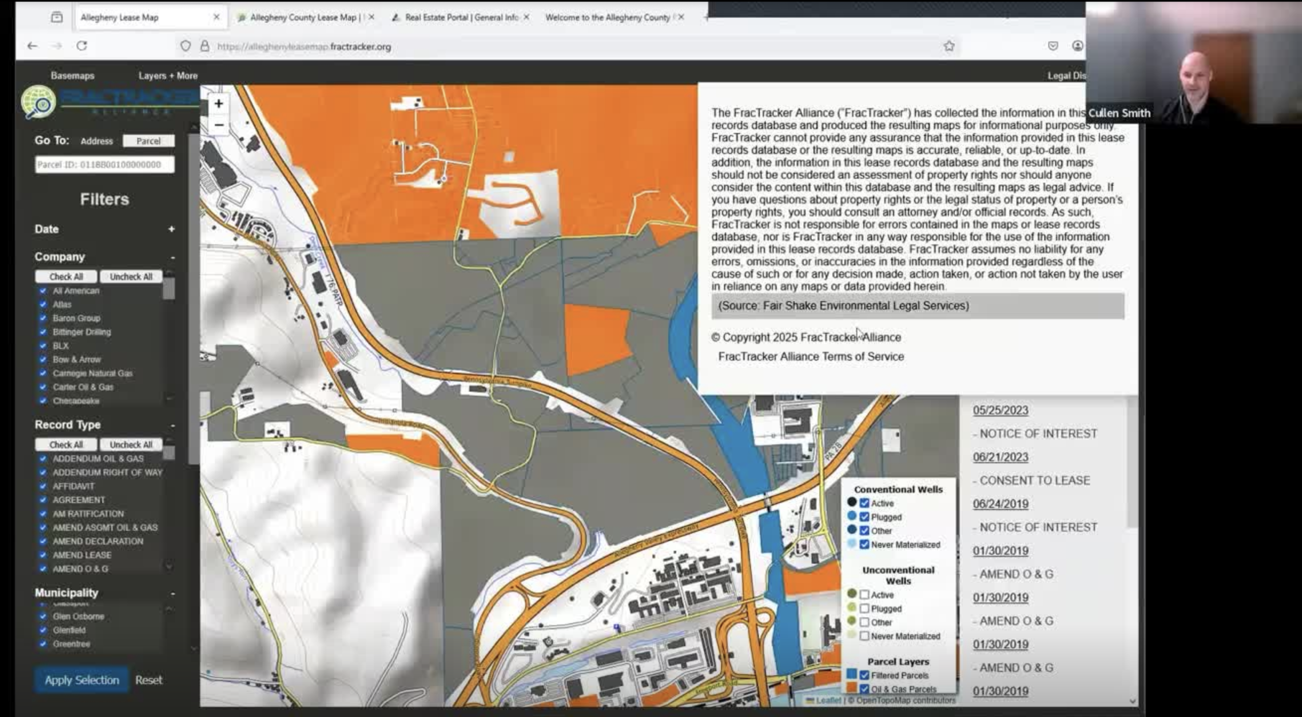
In this webinar, Matt and Cullen from FracTracker Alliance presented an updated analysis and mapping tool of oil and gas leases in Allegheny County, Pennsylvania, and how it helps to understand more about oil and gas activities in the area.
This new dataset provides records of 269,370 agreements with oil and gas companies within 33,923 land parcels in Allegheny County, totaling 32% of the county’s landmass.
Get a tour of this updated mapping too, learn how to use it, and hear about They will also discuss plans for future updates and possible analyses in other counties.
See links below for more resources from FracTracker.
What’s Included
- Insights from the latest data analysis
- Plans for future updates and analyses
- Ways to use this resource for community advocacy and intervention
This is applicable for leaders in the area, but also helpful if you want to learn more about how FracTracker provides mapping and data tools for leaders in regions across the U.S.
Links
- Fractracker.org
- Services (maps, data, support)
- Fractracker Email Newsletter